My Love Affair with North Japan's Tallest Peak
Chokai-san: The Sparkling Gem in Tohoku's Eye
Kia ora Koutou, Tim Bunting Kiwi Yamabushi here bringing you concepts, life advice, and hiking guides straight from the mountains of Japan.
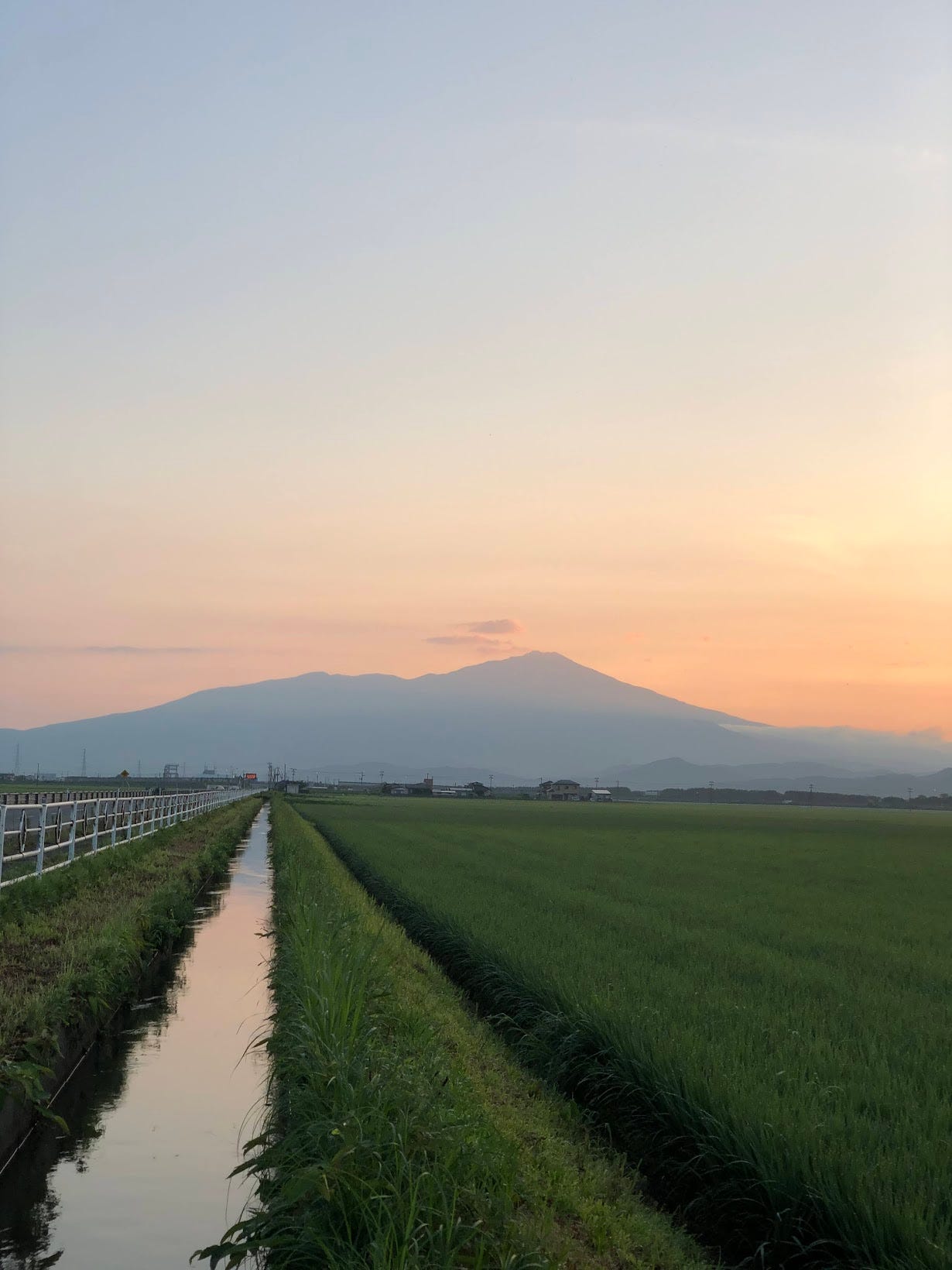
From my bedroom window I’m lucky enough to be able to gaze upon one of nature’s masterpieces. Well, if the weather kami allow me to, I guess. And I guess if you can ignore all the power lines and antennae Japan has an aversion to removing, that is.
I don’t repeatedly feature Chokai-san in Mountains of Wisdom simply because it is there. I feature Chokai-san repeatedly because besides being a looker, it’s such an intriguing mountain.
In terms of looks, well, see for yourself:
I always thought Chokai-san was called Dewa Fuji or The Fuji of the North due to sheer delusion of the locals. Chokai looks nothing like Fuji-san. Or as I like to call it: ‘The Chokai of The South’. As it so happens, though, in the past Chokai-san did indeed have a conical shape like Japan’s most famous peak. It’s just, in the winter of 446BC, the mountain collapsed quite spectacularly, ‘ruining’ its shape forever.
You can probably imagine what Chokai-san would have looked like had it been more conical. Personally, I would love to know how tall it would have been, and whether it could have even topped Fuji (perhaps someone knows this, the current summit is 2,236m, I’ll see if anyone knows!).
Arguably, Fuji-san is the better looker.
Symmetry and all that jazz.
But symmetry is also boring. No matter your perspective, Fuji-san has the same look: Giant cone with a sprinkling of white.
Chokai-san on the other hand, no matter your perspective, has a different look. It’s gotten so bad, locals say their Chokai is the only true Chokai.
Myself included.
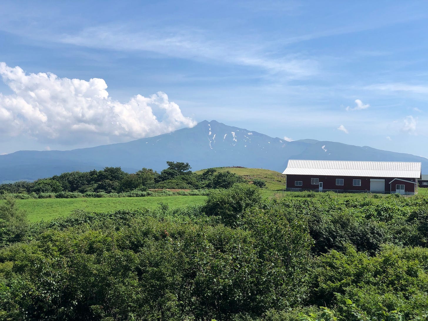
And then on Sunday I got that completely different perspective. I knew from climbing to the summit that this perspective would have existed, yet I had never stopped to take a look before.
I mean, after all,
It’s not Chokai-san.
In terms of looks and intrigue,
I took this photo on Sunday from the Minami Chokai Lookout in Nikaho, Akita Prefecture, to the north of us here in Yamagata. Not only can you see how the summit is hollowed out in the more traditional volcano shape, you can also see a whole valley with sheer drops formed when the mountain collapsed all those centuries ago.
Chokai… Rocks!
This collapse was so big, 3 cubic kilometres (!), or about 600 million 10-ton trucks’ worth of earth. In fact, it took the rocks from the summit a mere 6 minutes to travel the 25km down till it eventually filled up the coast.
Thanks to this collapse, not only is Chokai-san fun to look at from any angle, it also created a huge landmass that otherwise wouldn’t have existed. A landmass that created the Kisakata area of the city we now know as Nikaho in the south of Akita Prefecture. Kisakata, and Kanmanji Temple, were the northernmost destinations for Matsuo Basho when compiling The Narrow Road to the Deep North, Japan’s most famous collection of haiku poetry.
But wait, there’s more!

The landmass is also home to the phenomenon called Kujuku-shima ‘99 Islands’.
Thanks to the aforementioned collapse, in Kisakata in spring when all the rice fields are inundated with water, the hamlets among the rice fields look like islands. Coupled with the Sea of Japan, it’s quite a beautiful sight to behold.
Perhaps these are all why Matsuo Basho was so infatuated with reaching The Deep North.
At least that’s the case for me! I’m looking forward to bringing you even more on this amazing peak. For example, have you heard the creepy legend of how Chokai-san got its shape?
Shoga-dake on Saturday
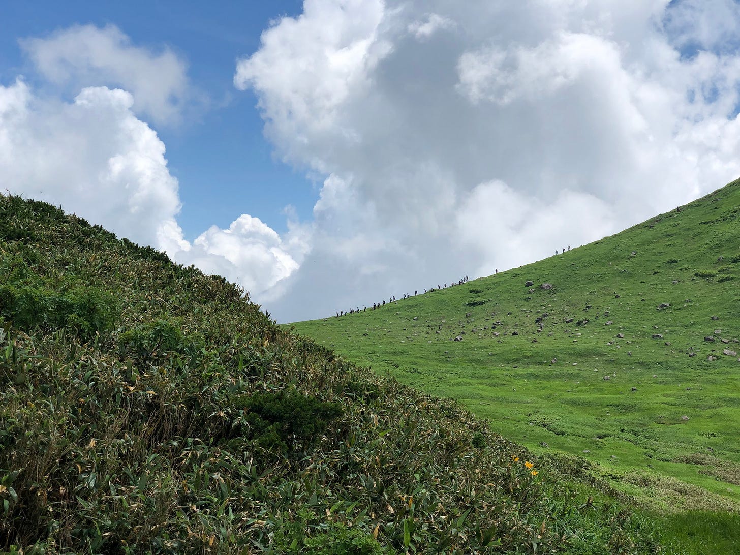
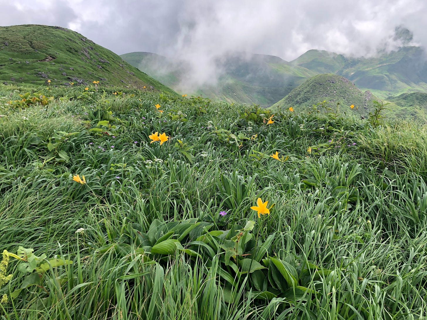
On Saturday, I got up at the crack of dawn to hit up Shoga-dake, a mountain off Chokai-san I climbed about two years ago.
Or so I thought.
This time around, I took the less traditional Odaira Trailhead. Most people who climb Chokai-san or Shoga-dake do so from the Hokodate Trailhead, and this is probably what I’d recommend. The most surprising thing for me though, was that I arrived at the much smaller trailhead at 6am, and it was already nearly full.
Ok, maybe that wasn’t the most surprising thing. The most surprising thing was that when I arrived at what I thought was the summit of Shoga-dake, the two older gentlemen were speaking about it as if we weren’t already there.
We weren’t. When I came here two years ago, I thought it was the summit, but it was actually two more peaks down. Not to worry though, I had plenty of time, and the summit wasn’t too far. It was just a shock to realise two years later that you hadn’t actually been where you thought you had!
Daily Yamabushi for this Week
In order of popularity, this week’s blog posts were:
NEW!!
Read Daily Yamabushi for free at timbunting.com/blog, or check out the YouTube Shorts here ← NEW!!
Mountains of Wisdom: Tell Your Mum!
Thanks for reading. If you think your mum would enjoy this, go ahead and share it with her!
Better yet, refer her and two of her friends to get a free month membership!
As always, get more content on the little-known side of Japan and Japanese culture on my blog, YouTube, Instagram, Facebook, Twitter, LinkedIn, or Threads.
And for those of you who haven’t yet:
Ka kite ano.
Tim.


